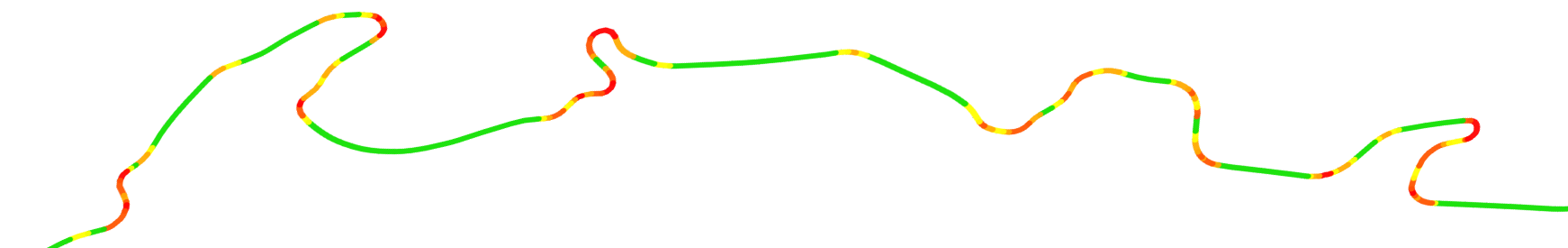

Curvature files are created by analyzing the geometry of highways in the OpenStreetMap dataset to detect curves and ranking each segment based on how many curves there are. The highways are then filtered to include only the most twisty segments in the output. Additional filtering is done to exclude segments marked with surface tags that indicate that they are unpaved. The resulting highways are combined into color-coded KML/KMZ files that can be opened in GoogleEarth or other programs for viewing. See the Using KML Files and Detected Curves KML files pages for more details.
| Region | Curvature ≥ 1000 Very twisty |
Curvature ≥ 300 Moderately twisty |
Detected curves (Curvature ≥ 1000) |
Date Updated |
|---|---|---|---|---|
| alberta | c_1000 | c_300 | c_1000.curves | 2024-11-25 18:10 UTC |
| british-columbia | c_1000 | c_300 | c_1000.curves | 2024-11-25 20:15 UTC |
| manitoba | c_1000 | c_300 | c_1000.curves | 2024-11-25 22:03 UTC |
| new-brunswick | c_1000 | c_300 | c_1000.curves | 2024-11-26 00:02 UTC |
| newfoundland-and-labrador | c_1000 | c_300 | c_1000.curves | 2024-11-26 02:03 UTC |
| northwest-territories | c_1000 | c_300 | c_1000.curves | 2024-11-01 13:01 UTC |
| nova-scotia | c_1000 | c_300 | c_1000.curves | 2024-11-26 06:06 UTC |
| nunavut | c_1000 | c_300 | c_1000.curves | 2024-11-26 08:02 UTC |
| ontario | c_1000 | c_300 | c_1000.curves | 2024-11-26 10:28 UTC |
| prince-edward-island | c_1000 | c_300 | c_1000.curves | 2024-11-26 12:00 UTC |
| quebec | c_1000 | c_300 | c_1000.curves | 2024-11-26 14:21 UTC |
| saskatchewan | c_1000 | c_300 | c_1000.curves | 2024-11-26 16:02 UTC |
| yukon | c_1000 | c_300 | c_1000.curves | 2024-11-26 18:00 UTC |
Improving the Data
Because Curvature uses the OpenStreetMap -- a world-map that anyone can edit -- as its data source, you too can improve the map and thereby improve the Curvature files the next time they are generated. For more information about improvements that are of particular help to Curvature, please see the Curvature OpenStreetMap page.